
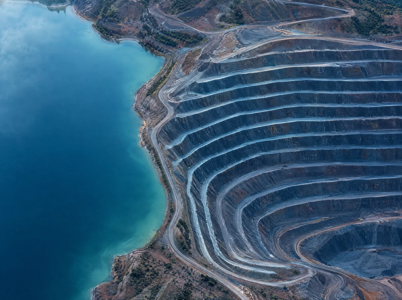
Technology in action: 3D modeling of terrain, infrastructure, and routes to simulate autonomous vehicle paths in open-pit mining, focused on critical area safety, route optimization, and material handling efficiency. Built in-house and demonstrated live, a reusable simulation discipline for mine layout projects.
A live walkthrough of the open-pit mine environment, autonomous truck trajectories, and route optimization scenarios, showing the simulation discipline built internally by Data Riders.
Prefer to watch on YouTube? Open the original stream.
Challenge
Test haulage and transport scenarios without exposing personnel and equipment to real risk.
Approach
A high-fidelity 3D mine environment featuring realistic terrain, infrastructure, and autonomous truck paths.
Result
Route optimization, critical area safety insights, efficiency gains, and a reusable simulation discipline for layout projects.
Before any real truck operates, we build a digital twin of the pit. The simulation is precise enough to stress-test fleet behavior, layout constraints, and safety rules, and flexible enough to run counterfactual scenarios in hours, not weeks.
Terrain
Topography, benches, and haul road geometry captured from survey data and imported as the base 3D layer.
Infrastructure
Crushers, stockpiles, maintenance shops, fuel stations, and operational structures modeled with real footprints.
Routes and ramps
Ascent and descent paths with realistic grades, curve radii, and interference corridors.
Fleet dynamics
Vehicle dynamics of autonomous trucks: loading, hauling, queuing, dumping, and return cycles.
Safety rules
Right-of-way preferences, exclusion zones, speed limits, and interaction rules where personnel or equipment share the road.
Haulage KPIs
Cycle time, throughput, queue length, and empty-travel ratio, captured as a baseline and remeasured with every iteration.
We follow the same disciplined process in every 3D simulation engagement. The framework is intentionally structured so each step relies on verified data from the previous one; no step is skipped to gain speed.
- 01 Capture the terrain Capture high-resolution terrain via LiDAR or drone survey and import it as the base 3D model. Ground truth is non-negotiable; the rest of the simulation inherits any error from this step.
- 02 Model infrastructure Model roads, ramps, crushers, stockpiles, and operational infrastructure in the 3D environment with real footprints and accurate topological relationships.
- 03 Configure the fleet Configure the autonomous truck fleet with vehicle dynamics, load/dump cycles, and mandatory safety rules; the simulation complies with the same constraints that real trucks will face.
- 04 Run baseline simulation Run the current haulage plan as a baseline to establish safety posture, throughput, and cycle-time KPIs. Without a baseline, any subsequent "improvement" is unverifiable.
- 05 Iterate scenarios Iterate route, ramp, and interference scenarios to expose bottlenecks, unsafe interactions, and layout vulnerabilities. Each iteration remeasures the KPI set so trade-offs remain visible.
- 06 Transfer know-how Package findings into a structured mine layout brief so the simulation discipline becomes reusable input for future layout development studies.
"A 3D simulator is not a demo. It is how we buy the right to make mistakes, cheaply and virtually, where an error costs nothing.", The Data Riders Operating Model
The source material explicitly links this work to four tangible outcomes:
- Route optimization for autonomous vehicle trajectories traveling up and down the pit.
- Enhanced safety in critical areas, interactions, blind turns, and ramp intersections.
- Material handling efficiency, improved cycle times, and reduced empty-travel ratios.
- Know-how transfer, where the discipline developed in this simulation informs future mine layout development studies.
Know-how built for mine layout development
The discipline generated by this 3D simulation work (terrain modeling, route dynamics, and truck behavior under operational rules) becomes a reusable asset for subsequent mine layout development studies.
High-fidelity virtual environments make it possible to stress-test fleet behavior, layout constraints, and safety challenges in a controlled setting, a "simulation-first" stance that turns layout decisions from opinion into evidence.
Talk to Data Riders about 3D simulation of layouts, routes, and autonomous vehicles in mining.
Tailings multi-criteria analysis
Structured decision analysis for tailings alternatives.
AI agent for water balance
Predictive and auditable water management.
GISTM.ai platform
Continuous compliance with GISTM requirements.